Insurance Maps Cover
Personal Project
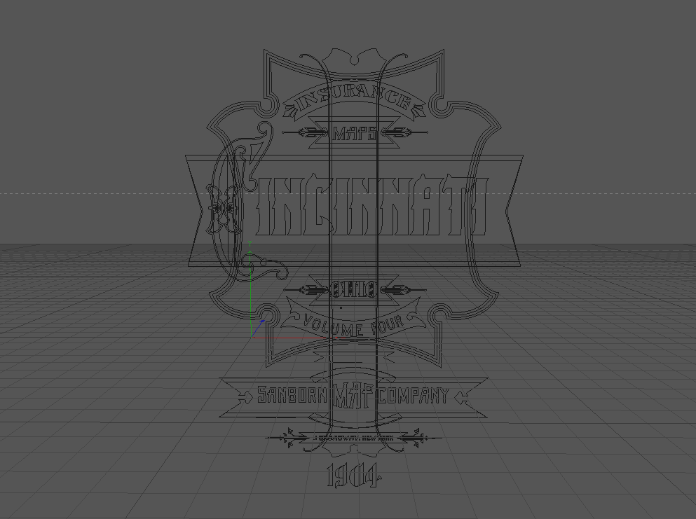
A few years ago I found a series of maps covers made by The Sanborn Maps Co. edited in the beginning of the 20th century. I loved those type compositions and I decided to remake one of this old covers using 3D modern technics.


The Original Cover
This cover is part of a full collection that comprehends several maps published between 1880 and 1920 by the company Sanborn Maps from New York, dedicated to the publishing of city maps in the US in order to estimate fire insurances . Those maps were used ultimately to preserve and rebuild historical buildings. The company, founded in 1866, is still running.


Process